
Seawall repair in Old Naples & Gordon River
A Gulf-front wall and a Gordon River wall need different starting questions. Identify the shoreline, drainage connections and access rights before comparing methods.
Describe your project on this page ↓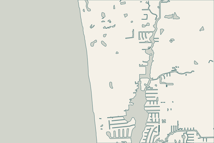
Get to know your waterfront
Naples Bay reaches the Gulf through Gordon Pass, while the Golden Gate Canal discharges into the Gordon River and bay system. The City monitors river and bay water quality monthly. On the Gulf side, beach-end projects and the Coastal Construction Control Line create a different record trail. A nearby public project is useful context, not an assessment of your wall.
Choose the record trail for your shoreline
For Gordon River and Rock Creek
A City restoration scope identified oyster-reef work at the mouth of Rock Creek beside the Gordon River. A separate River Point Drive development plan shows wall, boat-basin, utility, mean-high-water and maintenance-easement information together. Ask for the equivalent records for your parcel; the example plans are property-specific and marked not for construction. Rock Creek habitat project River Point record example
For the Gulf-facing edge
The beach-end program distinguishes replacement walls at North Lake Drive, 14th and 16th Avenues South from new walls at 3rd and 15th Avenues South. Its designs include buried toe-scour rock, tiebacks and returns. These are public designs for named sites, not specifications to reuse on a private lot. Beach-end locations Public design context
- Ask whether the CCCL intersects the site and which reviews apply.
- Identify any drainage outlet or maintenance easement beside the wall.
- Explain the intended access route and neighboring connections.
- Request the date and approval status of every plan being relied on.
The City’s CCCL guidance links to a map layer for orientation. Have the appropriate professional resolve the line and applicable requirements for the actual work. City CCCL guidance
What could the work cost?
Keep coastal review, survey, habitat protection and access costs visible. Do not divide a multi-site municipal contract into a residential per-foot estimate; the design and construction scopes are different.
Published contractor context, not a Naples average or a quote.
Compare quotes and plan a budget →Find the relevant permits and records
| Starting point | What to resolve | Prepare and look up |
|---|---|---|
City of Naples Building | Confirm the parcel, marine work and required plan set. | Bring the address, survey and photos. Published permit help: (239) 213-5020. |
City coastal guidance and property records | Identify CCCL questions, recorded easements and prior marine approvals. | Bring the parcel survey and proposed work footprint; distinguish Gulf frontage from river or bay frontage. |
A shoreline-specific records checklist
Make a short list of the decisions the records must answer, then request the documents that match your location.
Mark Gulf, river or bay frontage
Identify the named waterbody and the wall’s exact location. For a Gulf-side parcel, begin with the City CCCL guidance and parcel-specific review.
Naples Bay ecology and water-quality monitoring · Construction seaward of the CCCL
Collect easements and approved plans
Request the relevant wall permit, survey and recorded access information. Do not substitute a neighboring development drawing for your own boundary or rights.
Identify habitat and drainage interfaces
Show the assessor any known restoration area, outlet or utility connection. Ask what needs protection and which items belong in the repair design.
Naples Bay ecology and water-quality monitoring · 2020 Gordon River/Rock Creek oyster restoration scope
Plan your Old Naples project
Share the property address, the changes you have noticed and any photos or previous plans you have.
Clear options for your waterfront. A practical next step.
Old Naples project questions
Does the beach-end wall program include private frontage?
The City describes named public beach-end locations. It does not establish inclusion of an individual private wall. Confirm ownership and scope directly, and use the program only to understand the questions that coastal design and access may raise.
Can a Gordon River plan establish my easement rights?
Only the records applicable to your property can do that. The reviewed River Point drawing illustrates why easements, utilities and shoreline boundaries belong in one review, but its lines and notes are specific to that project. Obtain your current title and survey documents.
Keep planning
Nearby waterfront guides
Show sourcesHide sources
- Naples Bay ecology and water-quality monitoringSource reviewed 2026-10-25 · official indexed text
- 2020 Gordon River/Rock Creek oyster restoration scopeSource reviewed 2026-10-25 · official indexed text
- River Point Drive site development plansSource reviewed 2026-10-25 · official indexed text
- Beach access and beach-end seawall projectsSource reviewed 2026-10-25 · official indexed text
- Construction seaward of the CCCLSource reviewed 2026-10-25 · official indexed text
- City electronic permit helpSource reviewed 2026-10-25 · official indexed text
- City seawall permit checklistSource reviewed 2026-11-05