
Seawall repair in Moorings & Coquina Sands
Before comparing wall systems, find out how the work can reach your property. Moorings Bay has no public boat access ramps.
Describe your project on this page ↓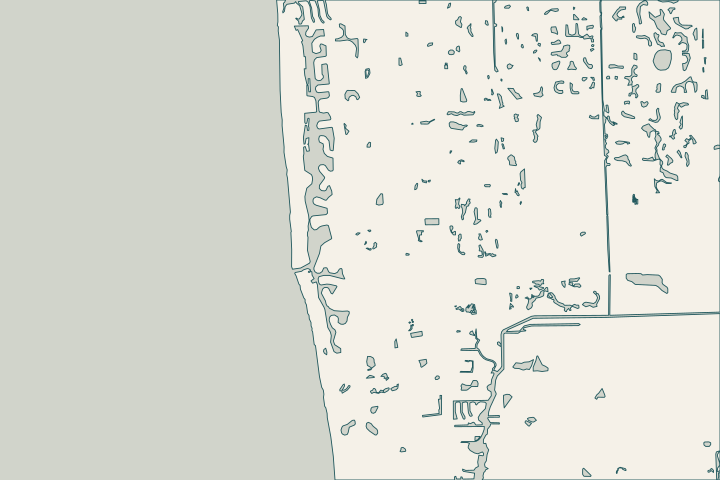
Get to know your waterfront
The City describes Moorings Bay as an urban estuary shaped by extensive alteration. Doctors Pass is its only direct inlet to the Gulf; culverts connect the north end toward Clam Pass. Waterfront properties from Seagate Drive to Banyan Boulevard fall within the Moorings Bay district, including Coquina Sands, the Moorings and Park Shore.
Make the access plan specific
A quote that assumes an easy public launch can miss an important constraint here. Ask where the contractor proposes to launch equipment, load materials and transfer debris. Confirm permission, vessel size, bridge clearance where relevant and the route to your wall before accepting an access allowance. Moorings Bay access
Why this bay needs its own brief
Doctors Pass has boulder jetties on both sides. The City monitors bay water quality monthly and conducts biological trawling quarterly. The special district, created in 1987, includes canal maintenance and dredging at Doctors Pass. These facts explain why navigation, water quality and private construction are related conversations, although they remain separate responsibilities. Bay connections Monitoring District purpose
- Ask the assessor to record the wall-to-dock connection and adjoining wall returns.
- Request an explanation of how runoff will leave the property after the work.
- Show landscaping and existing utilities on the proposed land-access route.
- Keep a public district project separate from permission to use a private dock.
The nearby Park Shore guide covers a different question: whether particular Gulf Shore Boulevard North walls fall within a documented City wall and easement area.
What could the work cost?
Compare mobilization and access assumptions before comparing per-foot figures. Temporary dock work, smaller equipment, material transfers and landscape restoration can be separate scope items to resolve in writing.
Published contractor context, not a Naples average or a quote.
Compare quotes and plan a budget →Find the relevant permits and records
| Starting point | What to resolve | Prepare and look up |
|---|---|---|
City of Naples Building | Confirm the parcel, marine work and required plan set. | Bring the address, survey and photos. Published permit help: (239) 213-5020. |
Moorings Bay district | Obtain the relevant navigation and waterway maintenance records. | Identify the waterbody and parcel; public maintenance records do not grant private staging permission. |
Check the journey to your seawall
Prepare an access sketch along with the photos of the defect. It should show where equipment starts, where it works and how materials leave.
Choose an authorized launch route
Have the contractor name the proposed access location. Moorings Bay’s lack of public ramps makes an unspecified launch allowance worth resolving early.
Describe the bay connection
Identify the route toward Doctors Pass and any site-specific clearance constraints. Use current conditions and the actual equipment dimensions, not a leisure-boat assumption.
Protect drainage and water quality
Ask how the work will handle sediment, runoff and debris. Include responsibilities for neighboring docks and restoration of any land used for access.
Plan your Moorings & Coquina Sands project
Share the property address, the changes you have noticed and any photos or previous plans you have.
Clear options for your waterfront. A practical next step.
Moorings & Coquina Sands project questions
Can a contractor launch from any nearby bayfront property?
A nearby property is not an access right. Ask for the proposed launch and staging locations and confirmation that their use is authorized. The City’s statement that Moorings Bay has no public boat ramps makes this an early planning question.
Does Moorings Bay connect directly to Clam Pass?
The City describes a northern connection through culverts, while Doctors Pass is the bay’s only direct Gulf inlet. Do not treat a hydrologic connection as an equipment route. Ask the contractor to demonstrate the route suitable for the vessel or barge proposed.
Keep planning
Nearby waterfront guides
Show sourcesHide sources
- Moorings Bay ecology and monitoringSource reviewed 2026-10-25 · official indexed text
- Moorings Bay Special Taxing DistrictSource reviewed 2026-10-25 · official indexed text
- City electronic permit helpSource reviewed 2026-10-25 · official indexed text
- City seawall permit checklistSource reviewed 2026-11-05